


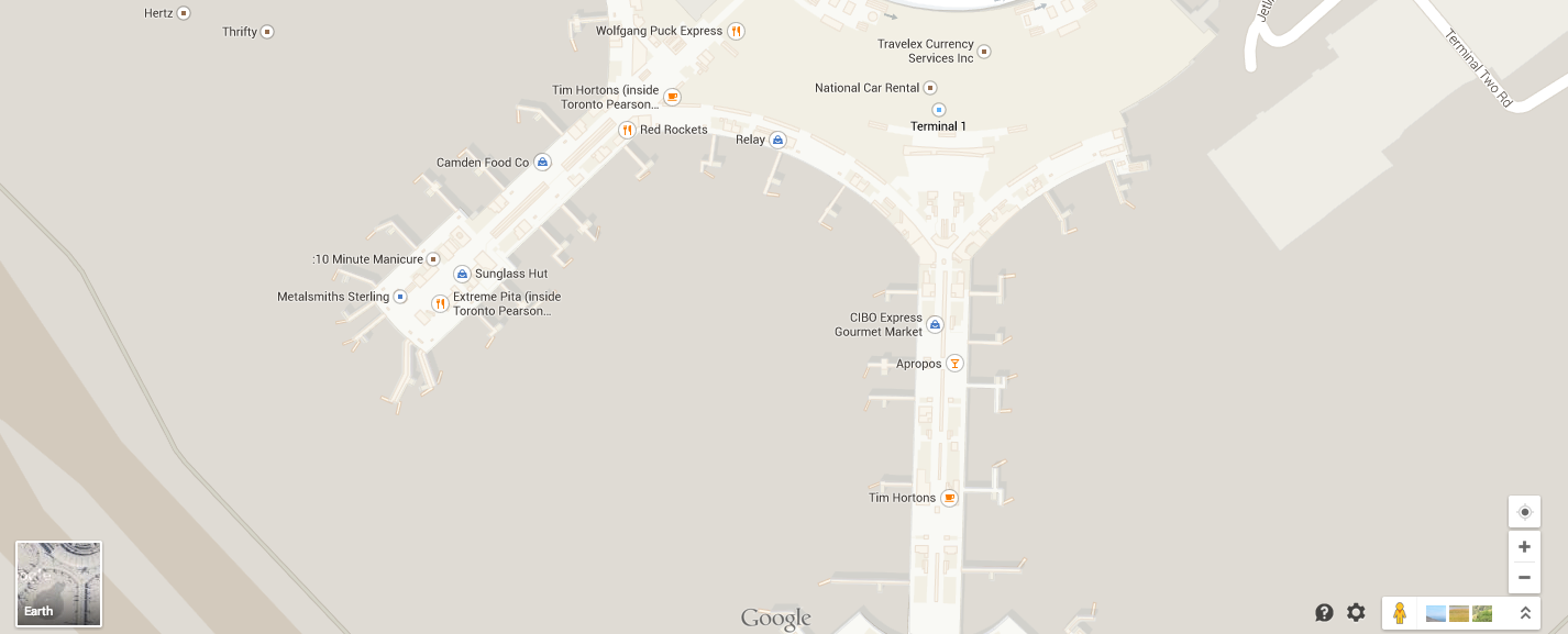
Frequent (and not so frequent) travellers rejoice! Google Maps has come to the inside of Pearson Airport.
Anyone using Google Maps is now able to see the inside the labyrinth-like airport and its three terminals. The new map allows users to see the airport’s indoor shops and restaurants, as well as departure gate. The latter feature is sure to help with navigating the airport immensely.
This should not be confused with Google Street View functionality, however, which is currently unavailable in indoor locations until Google can find a way to get their Street View cameras inside of tight spaces.
Google Maps is also available for large indoor malls like the Eaton Centre, though the current implementation leaves a lot of stores unmarked.
Image via Flickr user Faramarz Hashemi.
____
Igor Bonifacic is the managing editor of Toronto Standard. Follow him on Twitter.
For more, follow us on Twitter and subscribe to our newsletter.